Commercial farms, game farms, smallholdings and agricultural consultants.
Property owners, shopping centres, solar installations and mining companies.
Engineering consultants, surveyors, GIS professionals and construction companies.
National departments, municipalities, spatial planning and public works.
Skysight Solutions transforms high-resolution aerial data into reliable geospatial intelligence that helps clients make faster, smarter and more informed decisions.
We provide accurate information about land, infrastructure and industrial assets — allowing property owners, farmers, engineers and decision-makers to act with confidence.
Detailed maps and terrain models that reveal the true shape of your land.
Accurate data and thermal insights to monitor, assess and manage your assets.
Clear, reliable intelligence that helps you make confident decisions faster.
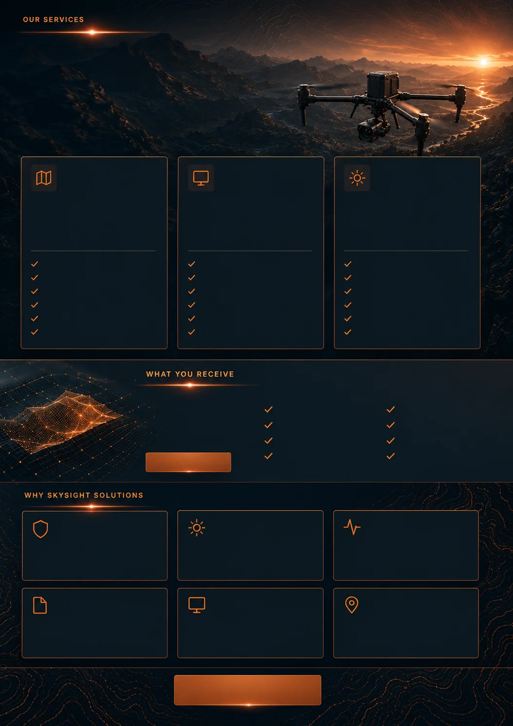
Orthomosaic mapping, terrain models, contour maps, drainage analysis, vegetation classification and land monitoring for farms, estates and large properties.
Roof, solar, thermal and infrastructure inspections. High-resolution photography and 3D models of structures with professional inspection reports.
Game and livestock counting, search and rescue support, construction progress monitoring, property marketing and custom aerial survey projects.
SACAA Part 101 licensed. Fully insured for all commercial operations.
DJI Matrice 4T with 4-in-1 sensor array including precision thermal imaging.
High-resolution aerial data processed into accurate geospatial intelligence.
Structured intelligence reports designed for fast, confident decision-making.
Secure cloud portal, direct download and GIS-compatible formats.
Serving Gauteng, North West, Free State, Mpumalanga and beyond.
A geospatial intelligence company built on precision, professionalism and a deep understanding of aerial data.
Our Story
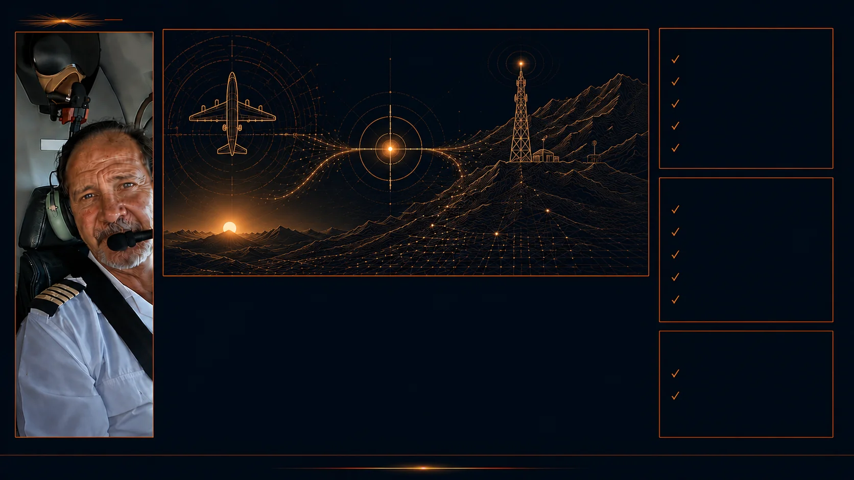
"I plan every flight the same way I planned commercial missions — with discipline, precision and zero margin for error."
With over 20 years in the aviation industry, I built my career as a seasoned senior captain, completing hundreds of missions across Africa and India — flying for the UN, the Red Cross and various reputable organisations. Precision, discipline and zero margin for error were not optional. They were the standard every flight demanded.
My move into aerial data collection was a natural evolution — where precision, perspective and possibility meet. As a licensed professional drone pilot, I bring the same discipline, safety mindset and operational experience into a new era of aerial capability. Today I channel that background into geospatial intelligence: collecting high-resolution aerial data and transforming it into accurate, actionable information about land, assets and infrastructure. I am passionate and enthusiastic about what this makes possible — and committed to delivering it with the professionalism and precision that every client deserves.
If you're looking to make faster, more confident decisions about your land or assets — or simply curious about what aerial intelligence can reveal — I would welcome the conversation.
— Gerhard de Klerk, Founder & Chief Pilot
DJI Matrice 4T
Professional Thermal Drone
Our Work
One aerial survey — six layers of intelligence. Every deliverable drawn from the same flight over a 21-hectare agricultural property in Magaliesberg, Gauteng.
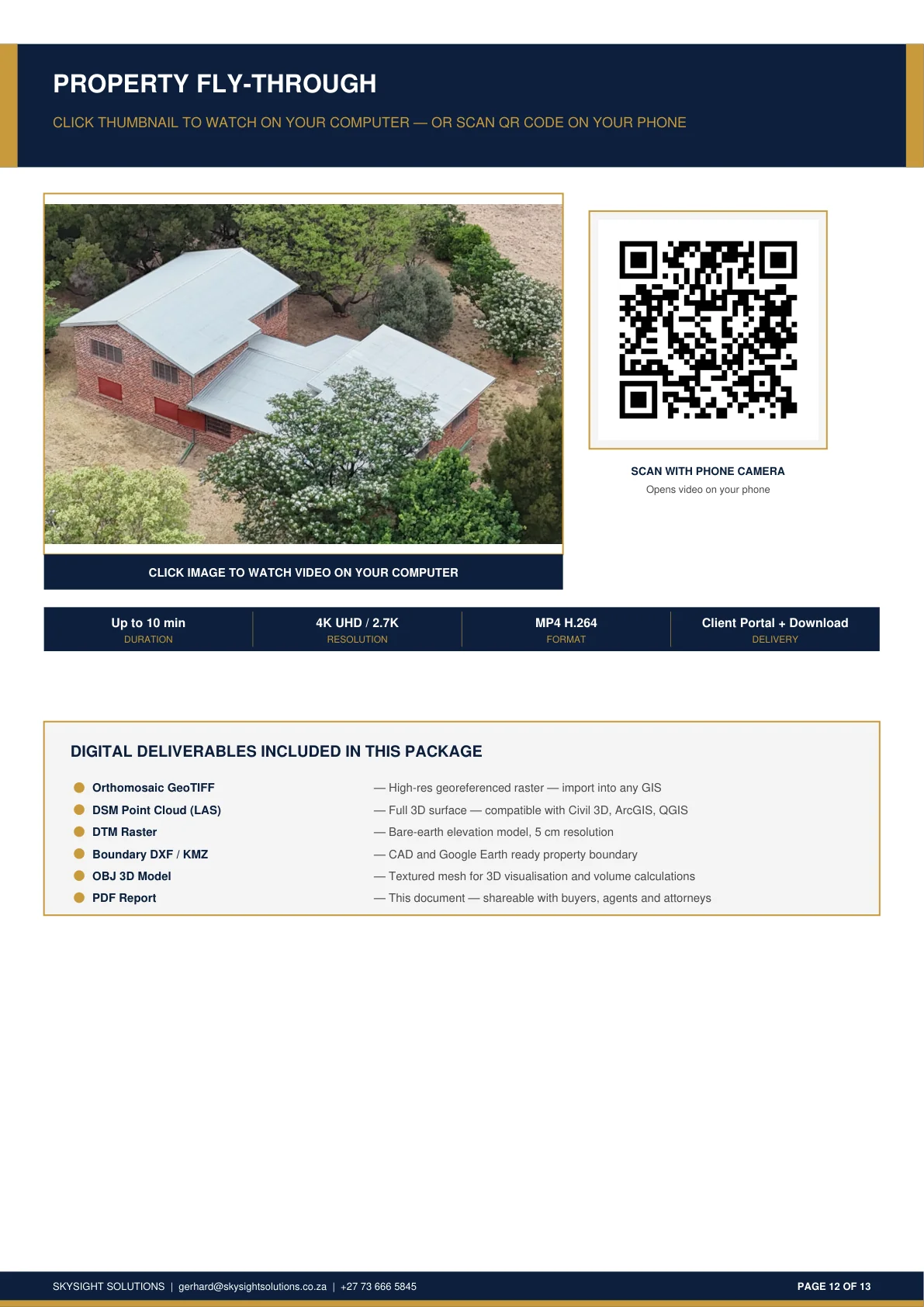
Cinematic Video
A cinematic aerial video tour of the entire property — from boundary to structure, terrain to vegetation. Experience the land as though you are standing above it.
Beyond Land Surveys
Close-range aerial inspection of telecommunications infrastructure — verifying equipment condition, compliance lighting and structural detail without a technician climbing the tower.
Ready to see your property through the lens of aerial intelligence?
Book a ConsultKnowledge
Most organisations are still working from a five-year-old picture of what is possible. Choose the area that matters to you — infographics, explainers and research, in plain language.
How aerial survey data answers the questions that matter about land — what is there, how it sits, how water moves across it, and what it is capable of supporting.
Orthomosaic MappingDTM / DSM Terrain ModelsContour & Drainage MapsVegetation Height ClassificationTree Count & Forest ExtentLand Change Monitoring7 guides · 7 podcasts · 7 infographicsExploreWhat close-range aerial and thermal inspection reveals about buildings, solar installations and infrastructure — without scaffolding, rope access or shutting anything down.
Roof Condition InspectionsSolar Panel InspectionThermal Imaging Analysis3D Structure ModelsInfrastructure Assessment ReportsPerimeter & Fence Inspection6 guides · 1 podcast · 3 infographics · 1 videoExploreWork undertaken where a property or project calls for it, alongside the core survey services — from counting game across a reserve to documenting construction progress and marketing a property.
Game & Livestock CountingSearch & Rescue SupportConstruction Progress MonitoringProperty Marketing Imagery4K UHD Fly-Through VideoCustom Aerial Survey1 guideExploreStart here
Common Questions
Straight answers to the questions we hear most before a first consult.
Skysight Solutions is based in Roodepoort, Gauteng, with particular focus on the Gauteng, North West, Free State and Mpumalanga plot belt — including Hartbeespoort, Brits, Bronkhorstspruit, Magaliesburg, Cullinan and Meyerton. We operate across Southern Africa more broadly, including South Africa and Lesotho — get in touch if your site falls outside this area, we can often still assist.
A single site visit and consultation is usually all it takes. We walk the property with you, confirm your objectives and the questions you need answered, and capture all the aerial data, photography and site information required — in one visit, so you don’t need to accommodate multiple trips.
Yes. All flight operations comply with SACAA RPAS Part 101 regulations, including licensed pilot operation and appropriate airspace clearance for every site we survey.
Most on-site data capture is completed in a single visit. From there, processing your data and preparing your full report and maps typically takes 2–3 days, depending on property size and complexity.
Depending on the service, deliverables can include high-resolution aerial photography, orthomosaic maps, DSM and DTM terrain models, contour maps, 3D models, thermal imagery, a professional PDF report, and GIS-compatible data formats — all provided in the file formats you need for your workflow.
Yes. We survey properties of any size, from small holdings to large commercial farms, and plan flight coverage accordingly to deliver consistent, high-quality data across the full extent of the property.
Legal & Compliance
Privacy Policy, Terms of Use, Cookie Policy and Drone Regulatory Compliance.
Skysight Solutions ("we", "us", "our"), operated by Gerhard de Klerk, is the responsible party for the personal information collected through this website, in accordance with the Protection of Personal Information Act 4 of 2013 (POPIA).
When you submit our contact form, we collect the information you provide:
We do not collect payment information, and we do not use tracking or analytics cookies on this site.
Information submitted via the contact form is used solely to:
We do not sell, rent or share your information with third parties for marketing purposes.
Contact form submissions are processed via Netlify Forms and stored securely. We retain enquiry information only for as long as reasonably necessary to respond to you and, if you become a client, for the duration of our business relationship and any period required by South African law thereafter.
You have the right to:
To exercise any of these rights, contact us atGerhard@skysightsolutions.co.za. The Information Regulator can be reached atinforegulator.org.za.
This policy was last reviewed July 2026. We recommend a formal legal review before this policy is relied upon for compliance purposes.
By accessing and using this website, you accept these Terms of Use in full. If you disagree with any part of these terms, please do not use this website.
This website is provided for general information about Skysight Solutions' services. You may browse and use this website for lawful, personal, non-commercial reference purposes only.
All content on this website — including aerial photography, maps, imagery, text, logos and design — is the property of Skysight Solutions or its licensors, and is protected by South African and international copyright law. No content may be reproduced, distributed or used commercially without prior written consent.
Content on this website is provided for general informational purposes only and does not constitute professional, engineering, surveying or legal advice. Engaging Skysight Solutions for a specific project is governed by a separate service agreement or quotation, not by this website.
Skysight Solutions makes reasonable efforts to ensure the information on this website is accurate and up to date, but makes no warranties, express or implied, about its completeness or accuracy. To the fullest extent permitted by law, Skysight Solutions accepts no liability for any loss or damage arising from use of this website.
These Terms of Use are governed by the laws of the Republic of South Africa.
This policy was last reviewed July 2026. We recommend a formal legal review before this policy is relied upon for compliance purposes.
All drone operations conducted by Skysight Solutions are performed in full compliance with the South African Civil Aviation Authority (SACAA) Regulations for Remotely Piloted Aircraft Systems (RPAS) under Part 101 of the Civil Aviation Regulations. Gerhard de Klerk holds a valid SACAA RPAS Remote Pilot Licence (RPL) and operates within all applicable airspace restrictions, insurance requirements and safety protocols.
This policy was last reviewed July 2026. We recommend a formal legal review before this policy is relied upon for compliance purposes.
Get in Touch
Ready to see your land, assets or infrastructure from a new perspective? Let's talk.
Cell
+27 73 666 5845Location
Roodepoort, South Africa
See our full service area
Roodepoort, South Africa & Southern Africa service region


